

AXPA Systems builds the platform operators and pilots use to plan, assess and document their flights. Official aeronautical data, weather and high-resolution mapping converge in a single three-dimensional environment.
View capabilitiesAXPA Systems S.L.U. is the group company devoted to developing its own technology. Its purpose is to reduce the complexity surrounding access to airspace: turning an extensive regulatory framework and a growing number of data sources into a clear answer about where, when and under which conditions a flight can take place.
The platform serves two distinct realities. That of the pilot who needs to check whether an area is suitable for flying, and that of the organisation designing Specific Category operations, coordinating a fleet and having to evidence compliance for every mission.
Development draws on the group's own operational experience: the product's capabilities stem from needs identified in the field and are tested against the operations AXPA carries out every day.
Six areas of work covering the full life cycle of an operation, from the initial check to subsequent traceability.
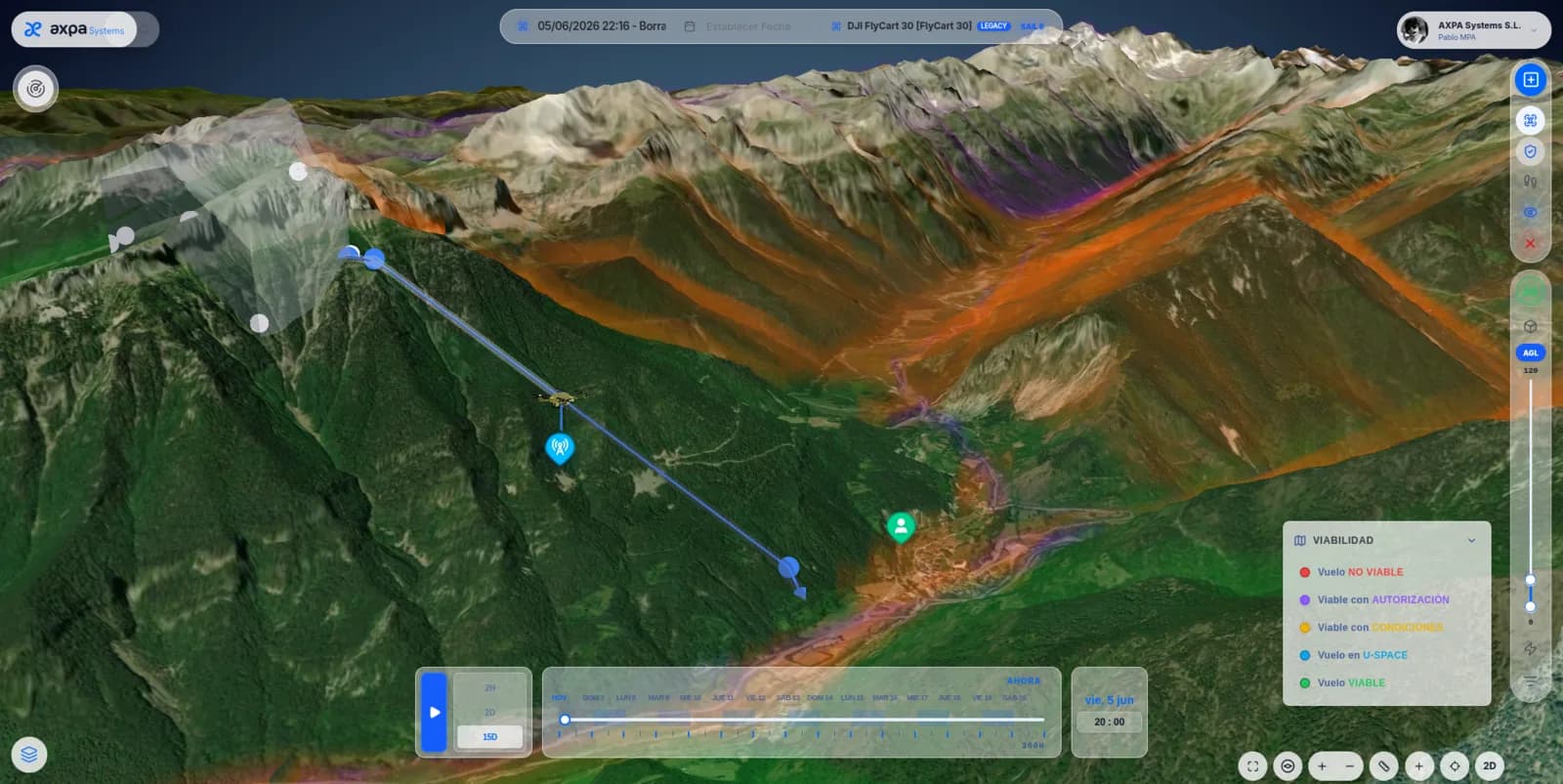
Terrain, buildings and airspace volumes rendered in three dimensions, alongside UAS geographical zones from official sources.
Weather, GNSS, mobile coverage and line of sight assessed across the operational volume and summarised in a single verdict.
SORA and PDRA risk assessment with SAIL determination, standard scenarios and reuse of operational authorisations.
Actual mobile coverage over the terrain and live air traffic, to understand the surroundings before take-off.
Aircraft inventory, maintenance, checklists and currency of each pilot's ratings.
Requirements and limitations applicable to each operation, flagged on the basis of the regulations in force.
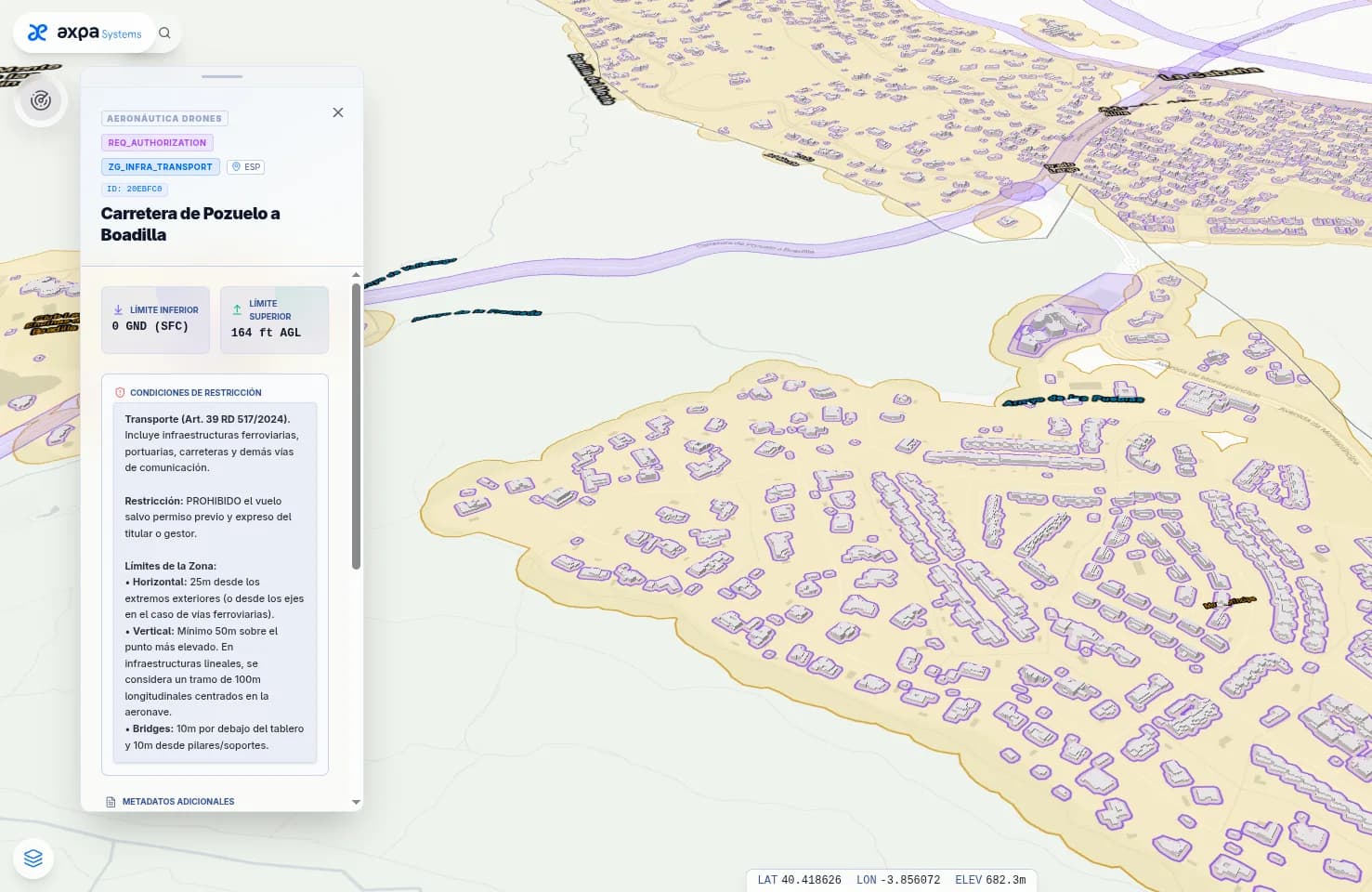
The platform combines airspace, aerodromes and UAS zones published by official sources with the general zones of Spanish Royal Decree 517/2024, which AXPA Systems computes nationwide over the territory's actual building footprint.
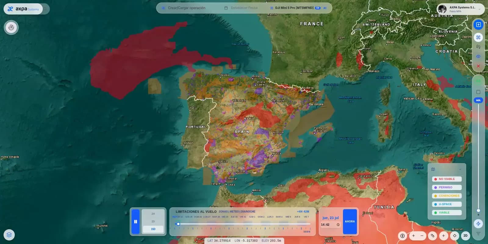
The feasibility engine combines weather, GNSS signal quality, mobile coverage and line of sight across the operational volume, and translates the result into five states on the map. Where an operation is not feasible, the platform sets out the specific procedures that would make it possible.
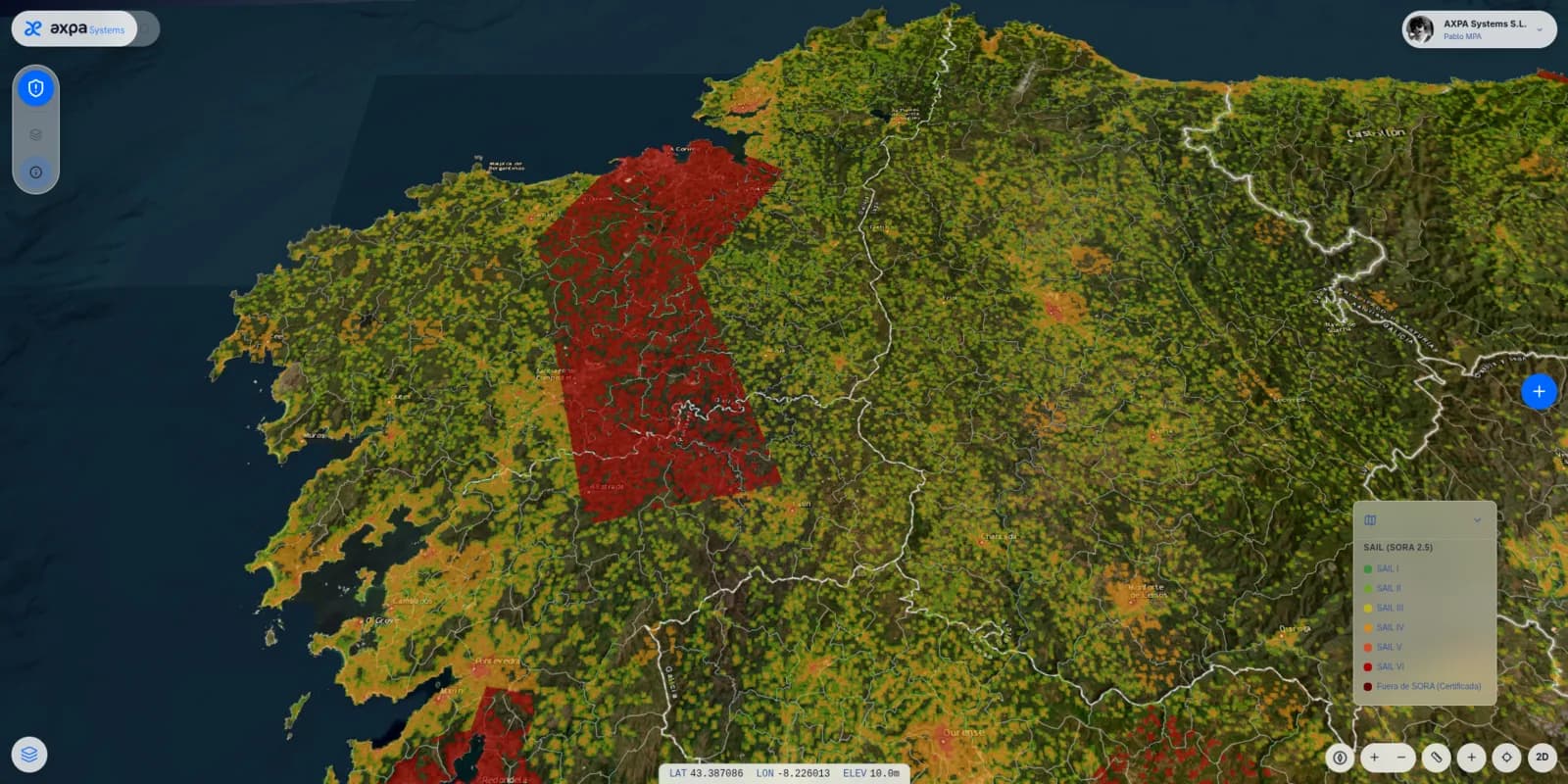
Operations beyond the Open Category call for a formal risk assessment. The platform supports that process: it determines the SAIL under the SORA framework, maps the outcome across the territory and allows work within the volume of an operational authorisation already granted.
The platform's regulatory engine rests on the European and national frameworks governing the activity.
AXPA Systems publishes the product detail, its plans and its technical documentation at axpa.app.